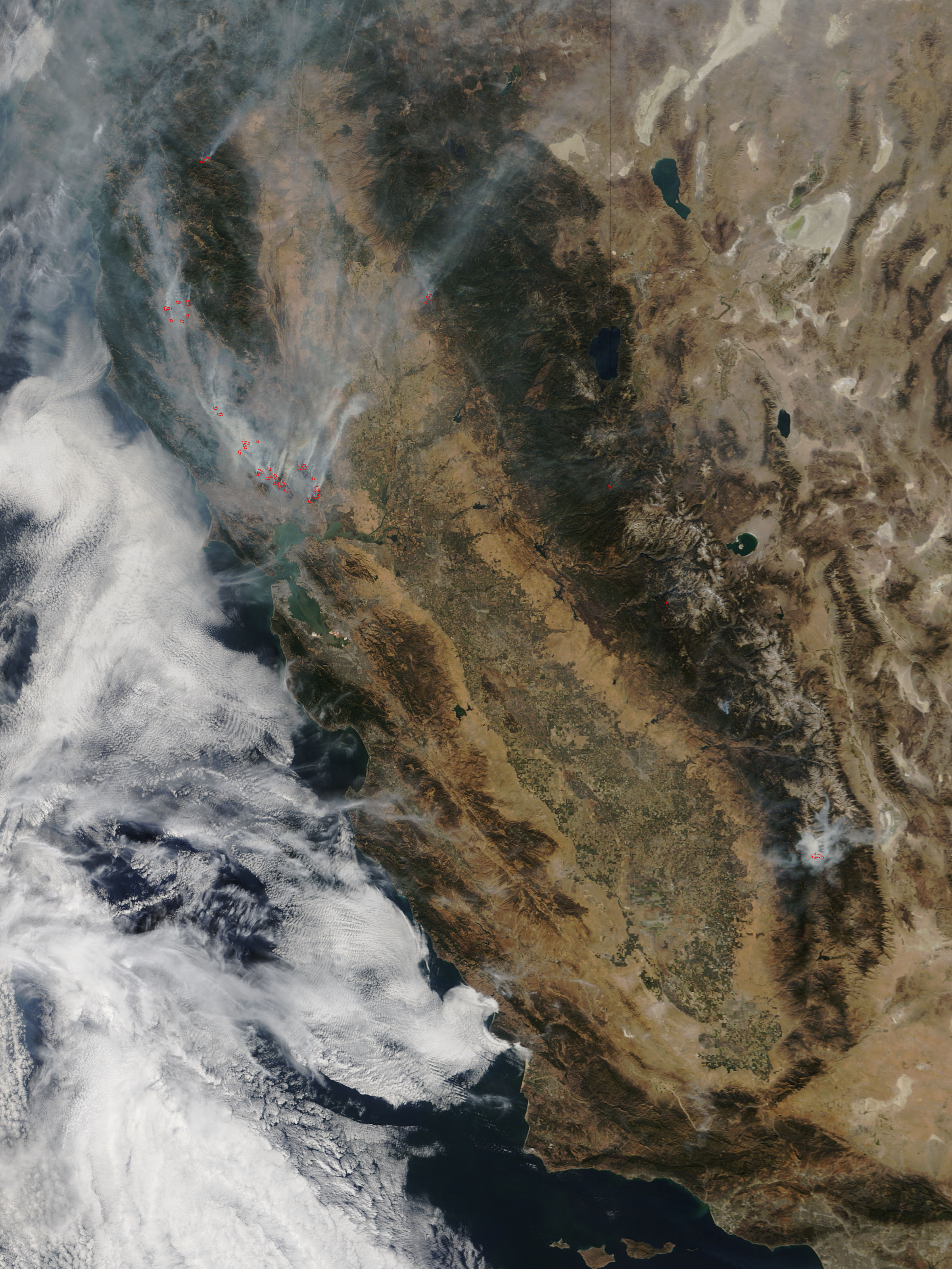
Breezy northerly winds and low humidity are creating elevated fire weather conditions across the Folsom and El Dorado Hills area Tuesday, Oct. 13, through Friday.
The National Weather Service Sacramento posted Monday, Oct. 12, that elevated fire weather conditions were expected Tuesday due to breezy northerly winds combined with low relative humidity. The agency said further elevated fire weather concerns are possible Wednesday through Thursday.
The NWS Sacramento forecast office website broadened that timeline, stating that breezy north-to-east winds and low humidity will combine for elevated fire weather conditions at times through Friday for much of interior Northern California.
No Red Flag Warning is in effect.
The conditions follow a Red Flag Warning that covered the northern Sacramento Valley and adjacent foothills from Sunday morning, Oct. 11, through early Monday, Oct. 12. That warning cited critical fire weather driven by gusty north-to-northeasterly winds and low relative humidity. The NWS is using the term "elevated" for the Tuesday-through-Friday period, a step below the "critical" designation that accompanied the weekend warning.
Burn ban still in effect
Separately, CAL FIRE's Amador-El Dorado Unit reminded residents Monday that a burn ban remains in effect across State Responsibility Areas within the unit. The agency said on X that despite cooler mornings, fire conditions remain dry and residential burning is not allowed until the ban is lifted.
No date has been announced for when the burn ban will end. Residents can check the status at burnpermit.fire.ca.gov or contact CAL FIRE AEU for updates.
The NWS Sacramento website posted a fire weather safety advisory urging residents to take precautions while elevated conditions persist.