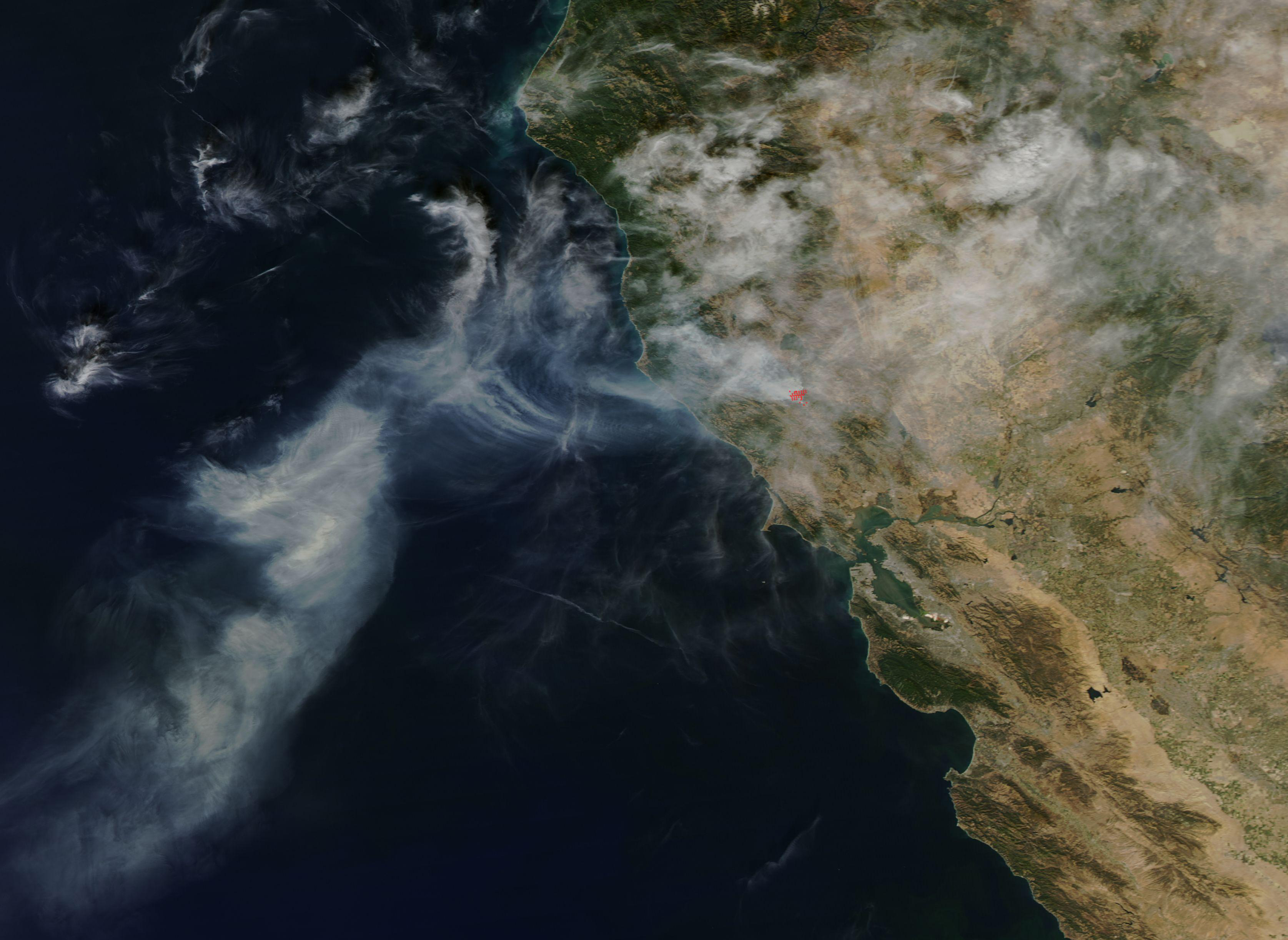
Federal forecasters say there is an 83% chance the current El Niño will surpass every event recorded since 1950. The forecast has prompted a statewide state of emergency and raised flooding concerns for Folsom and El Dorado Hills heading into winter.
The National Oceanic and Atmospheric Administration (NOAA) issued that projection for the October-through-December window, first reported by the Mountain Democrat on Friday, Oct. 9. The World Meteorological Organization said in a post on X on Saturday, Oct. 10, that sea-surface temperatures in the central-eastern equatorial Pacific are forecast to reach 3.7 degrees Celsius above normal for the same period. That would shatter the previous record of 2.6 degrees set during the 2015-2016 El Niño.
NOAA's October predictions from its Geophysical Fluid Dynamics Laboratory call this El Niño stronger than any observed in at least 30 years, with the 1997-98 extreme event in a close second. Even as the pattern may weaken through winter, NOAA said its impacts could continue to intensify over parts of the United States.
"This is shaping up to be an unusually strong El Niño, which is why you're hearing the term 'Super El Niño,'" Crystal Egger, president and meteorologist at Monarch Weather + Climate Intelligence, told the Mountain Democrat.
State of emergency
Gov. Gavin Newsom declared a statewide state of emergency on Sept. 21, mobilizing resources ahead of potential winter storms. The proclamation directs agencies to stage flood-fighting supplies, pre-position equipment and prepare the California National Guard for flood response, search-and-rescue and logistics missions. State environmental agencies will fast-track permitting to help local governments prepare for flooding, landslides and debris flows.
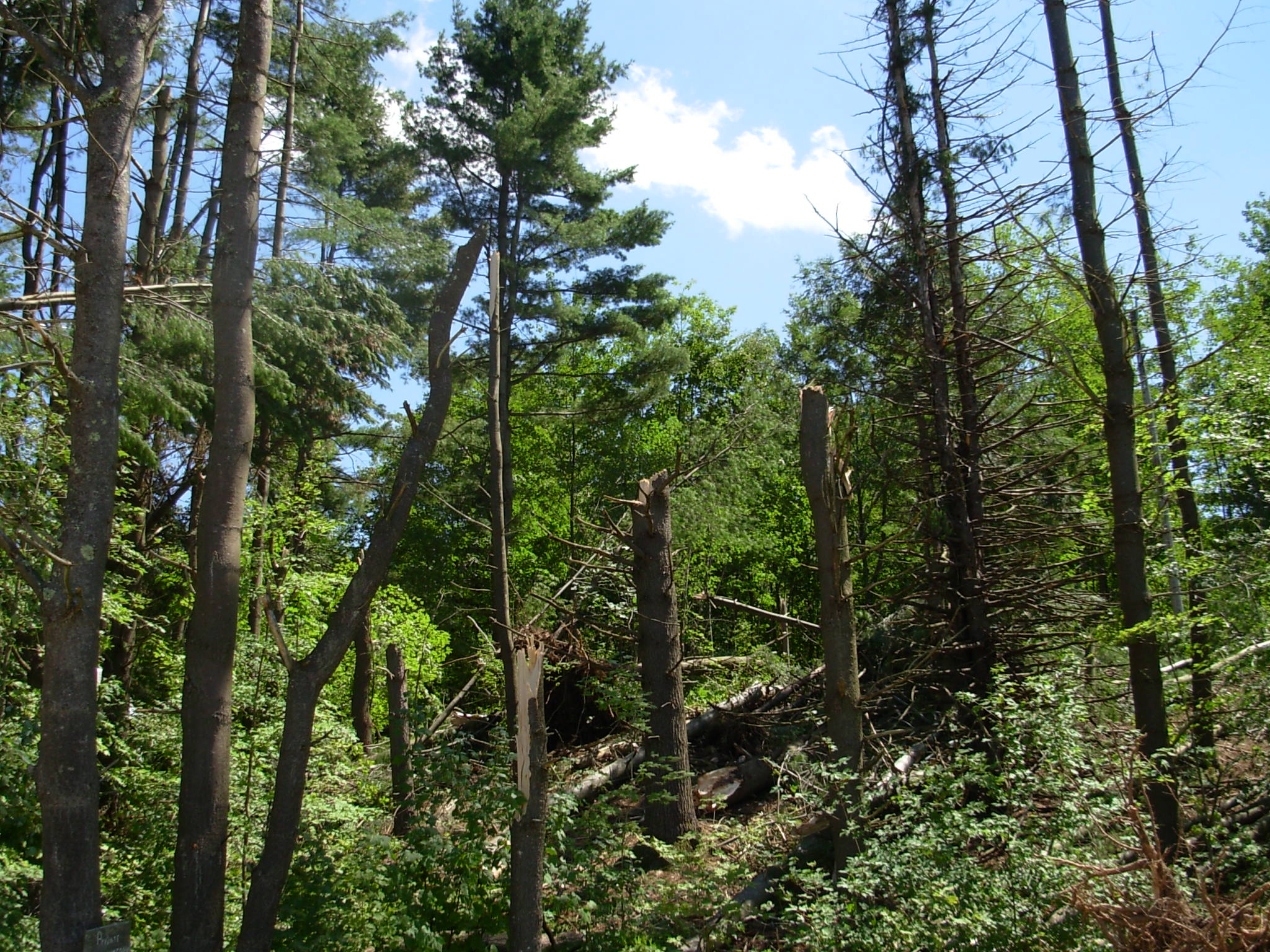
In areas where past wildfires have stripped vegetation and altered soil, hillsides are less able to absorb heavy rain, raising the risk of mudslides and debris flows, according to the Mountain Democrat report. That general risk applies across much of California, though no specific burn scars in Folsom or El Dorado Hills were identified in available public records.
El Niño impacts are generally felt more strongly in Southern California than in Northern California, according to KCRA's reporting on the emergency declaration. Egger cautioned that El Niño "changes the odds" rather than guaranteeing severe weather in any one location.
Insurance gap
Standard homeowners insurance does not cover flooding. Residents who lack a separate flood policy through the National Flood Insurance Program (NFIP) or a private insurer face a coverage gap. NFIP policies carry a 30-day waiting period before coverage takes effect, so purchasing one after a storm is already approaching may be too late.
NFIP policies can cover mudflow but exclude landslides and other forms of earth movement. Residents should not assume they are protected because their property sits outside a designated high-risk flood zone; flooding can occur well away from rivers and mapped risk areas, according to the Mountain Democrat report.
Local resources
No El Dorado Hills or El Dorado County flood preparedness resources equivalent to Folsom's program were identified at the time of publication.
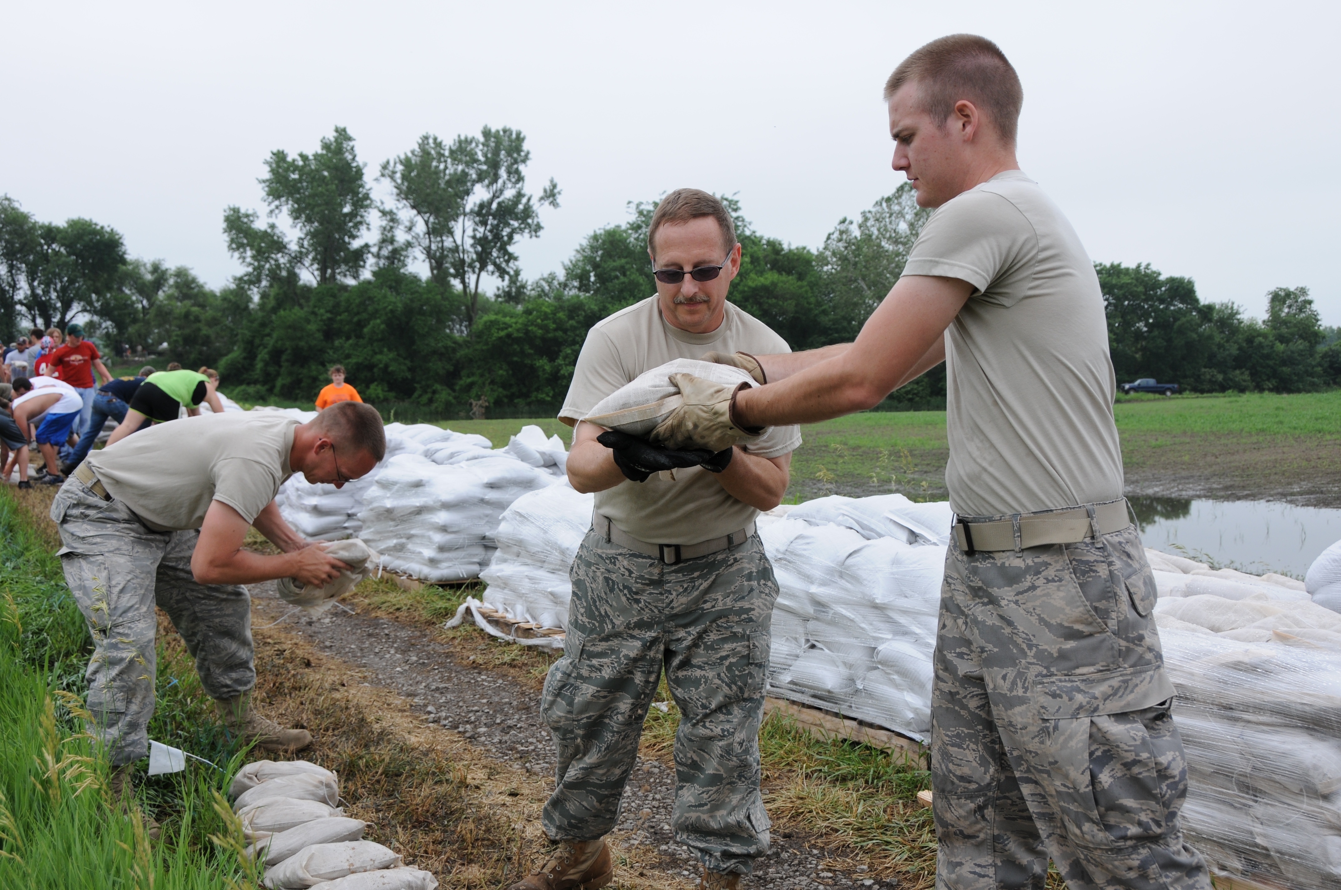
The City of Folsom opens its free sandbag station on Thursday, Oct. 15, behind 50 Natoma Street, next to City Hall. Sand and bags are available around the clock through April 15, 2027, on a first-come, first-served basis. Proof of residency is required. Shovels are not provided.
Folsom residents can sign up for emergency alerts through Everbridge Nixle by texting 95630 to 888777. Sacramento Alert, which sends critical emergency information including flood and evacuation notices, is also available through the city's public works page. Non-emergency storm issues like clogged drains can be reported through the SeeClickFix Folsom app.
The sandbag station at 50 Natoma Street opens Thursday.