Wind gusts up to 50 mph and heavy Sierra snow are heading for the El Dorado County area starting Tuesday night, Nov. 17, according to the National Weather Service in Sacramento.
A wind advisory takes effect at 10 p.m. Tuesday and runs through 4 p.m. Wednesday, Nov. 18. It covers the Sacramento metro area and western El Dorado and Amador counties, along with the Delta, foothills and northern San Joaquin Valley.
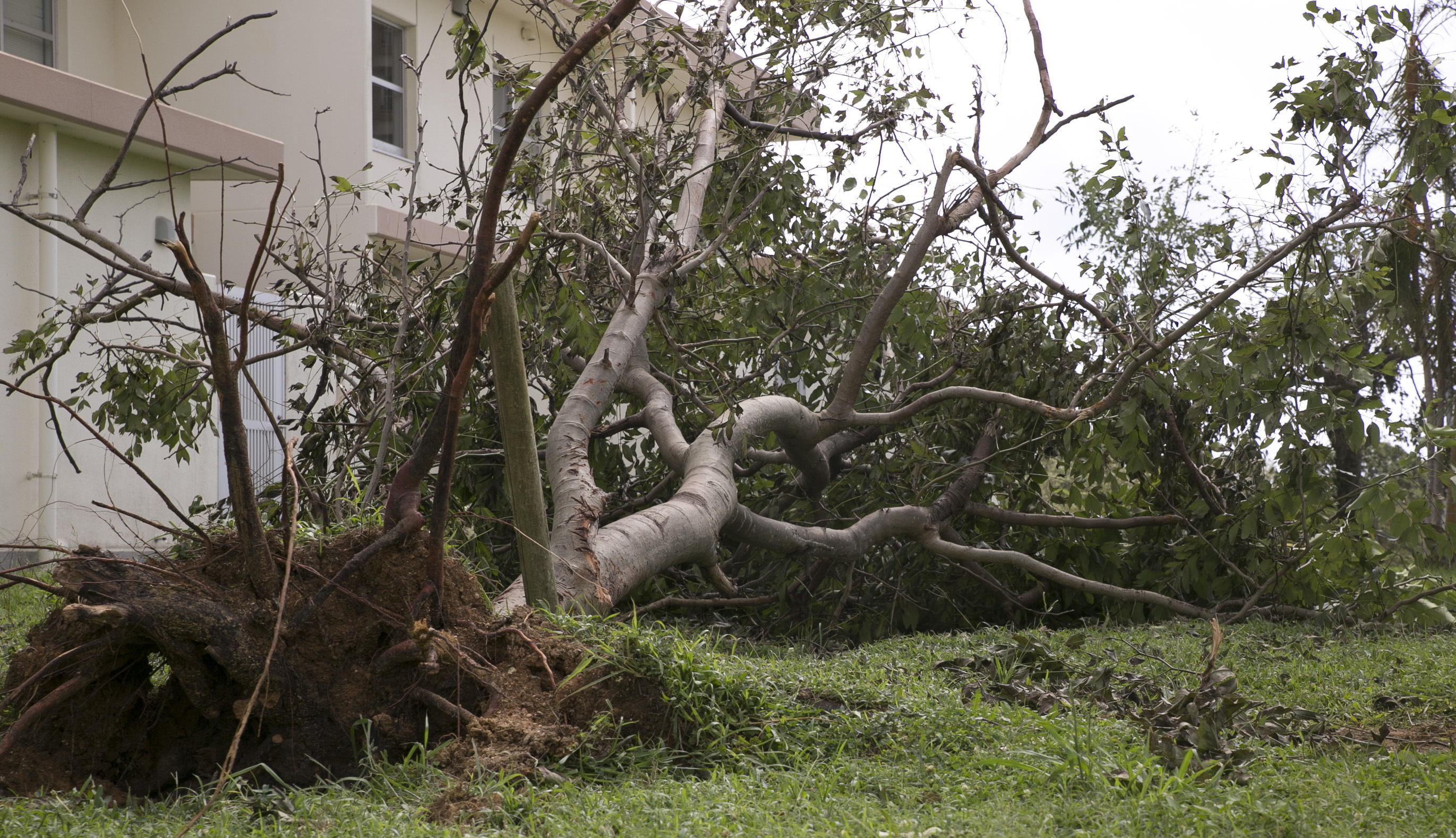
Southeast winds of 20 to 30 mph are expected, with gusts up to 50 mph. The strongest winds are forecast for Wednesday morning and afternoon. The NWS warned that gusty winds could blow around unsecured objects, bring down tree limbs, and a few power outages may result.
The NWS advised extra caution while driving, especially for high-profile vehicles.
Heavy snow in the Sierra
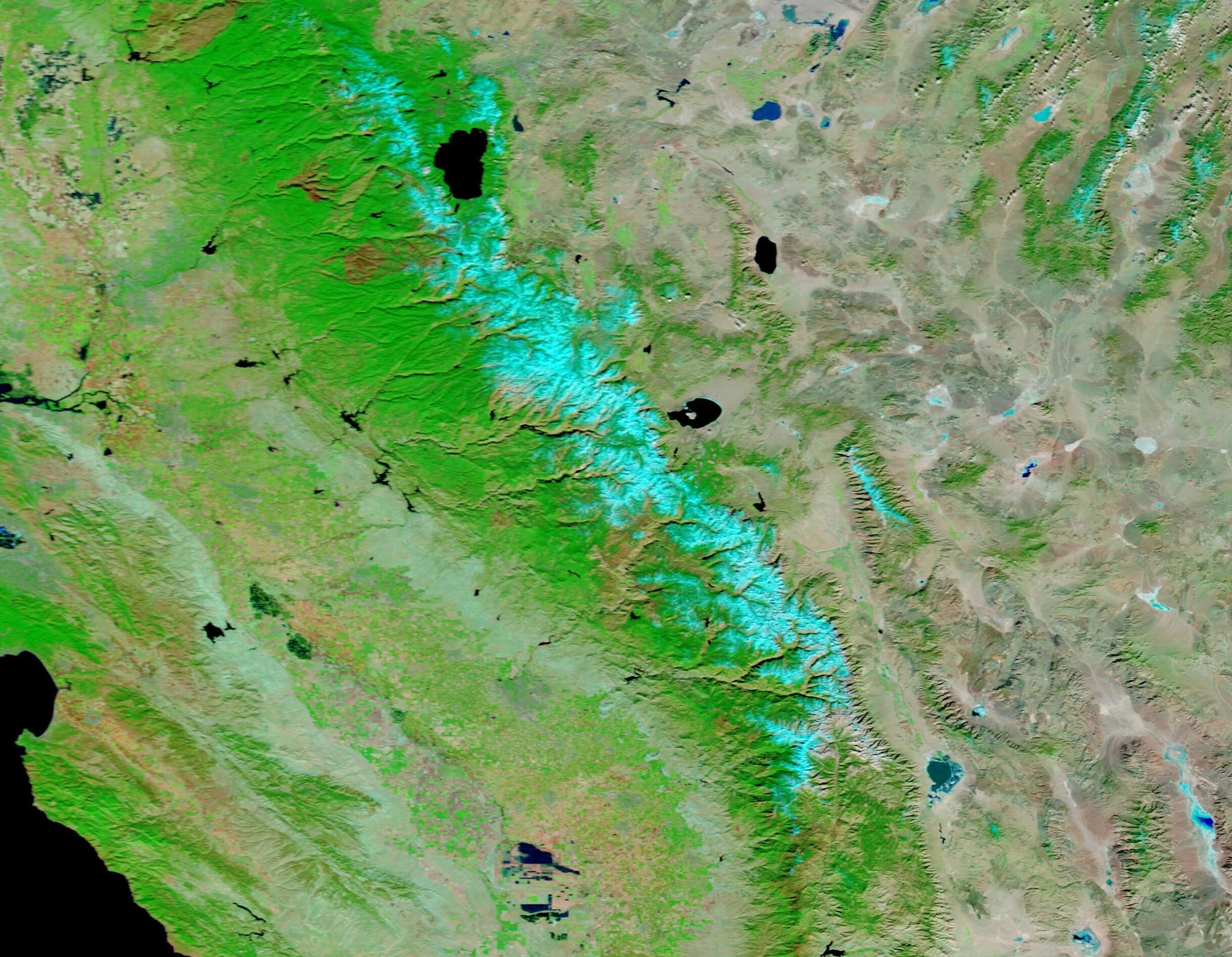
A winter storm warning covers the Sierra Nevada of El Dorado and Amador counties between 3,000 and 5,000 feet, including Highway 50. It takes effect at 10 p.m. Tuesday and runs through 4 a.m. Friday, Nov. 20.
The NWS expects up to a foot of snow between 4,000 and 5,000 feet. Light flurries and a dusting are possible as low as 3,500 feet. Wind gusts could reach 40 mph.
Above 5,000 feet, conditions will be more severe. A separate winter storm warning for higher elevations in El Dorado, Amador and Northern Alpine counties calls for 1 to 3 feet of snow, with up to 4 feet at the highest peaks. Wind gusts could hit 55 mph at those elevations.
Travel could be very difficult to impossible Tuesday night through early Friday morning, according to the NWS. Snow-covered roads, chain controls and reduced visibility are all expected.
The heaviest snowfall is forecast for Wednesday morning into the afternoon, with rates of 1 to 2 or more inches per hour. Snow levels are expected to sit between 3,500 and 4,500 feet Tuesday night, then rise to 4,500 to 5,500 feet on Wednesday.
Residents heading to the Sierra can check road conditions through Caltrans online or by dialing 511.